Peter’s Altar Stone and mine

Map: Old Red Sandstone outcrops from the Firth of Clyde to Oban, BGS-derived, with the Clyde focus ring and the Kerrera Sandstone Formation
Two possible sources. Mine is the Firth of Clyde. Peter’s is up the coast at Oban. Neither of them is Orkney. Open in Google Earth.

Back in August I said I’d make the case for a Clyde-region Altar Stone somewhere with more room in it. This is the room.
Continue reading “Peter’s Altar Stone and mine”

Different special

Google Earth map of North Yorkshire with a yellow traced outline of the Kinderscoutian sandstone around Brimham Rocks, red markers for the Devil's Arrows, Brimham Rocks and Plumpton Rocks, orange henge markers, and a blue polygon for the glacial lake reaching the Devil's Arrows.

Partisan. Say it up front. I think ice moved the big stones of Britain about and people stood them up, and I thought so before the geology got interesting. So read what follows as a man with a side and a map.

The occasion is a new paper on the Devil’s Arrows, the Millstone Grit monoliths beside the A1 at Boroughbridge, North Yorkshire. Put up something like 4,000 years ago (BC 2,000). The paper matches their zircons to Brimham Rocks, a crag 18 km west, and concludes that Bronze Age people picked that crag on purpose and dragged the stones eleven miles to a spot with no gritstone of its own. Deliberate sourcing. The word is in the title.

Google Earth map of North Yorkshire with a yellow traced outline of the Kinderscoutian sandstone around Brimham Rocks, red markers for the Devil's Arrows, Brimham Rocks and Plumpton Rocks, orange henge markers, and a blue polygon for the glacial lake reaching the Devil's Arrows.
Yellow: the Kinderscoutian sandstone the Arrows were matched to, traced from the BGS 1:50k map. Brimham Rocks is inside it, and so is a lot of other ground. Blue: the Devensian glacial lake, the Arrows on its west shore. The lake is rough, from the BGS Lexicon limits; the grit outline is raster-traced from a filtered BGS map image, not BGS vector data, and the filter picks one mapping name, so equivalent rock mapped under other names is left out. Contains British Geological Survey materials (c) UKRI 2026. Spin it round yourself in Google Earth.
Continue reading “Different special”

Anyone but boring old nature

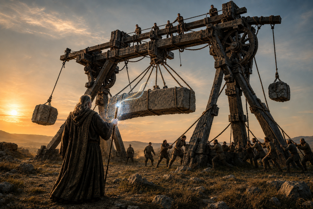
A robed, long-haired Merlin raises a glowing staff towards a stone lintel slung beneath an enormous timber gantry crane, while dozens of workmen haul on ropes below and sit astride the top beam at sunset
Geoffrey of Monmouth, AD 1136. Merlin, magic and machines, not muscle.

Nobody has ever wanted the boring answer. Nine hundred years of people explaining how the stones got onto Salisbury Plain, every one of them with a better version than the last, and not one of those versions has ever been “the ice put it there.”

Continue reading “Anyone but boring old nature”